East Yorkshire coastal erosion
Skipsea Withow
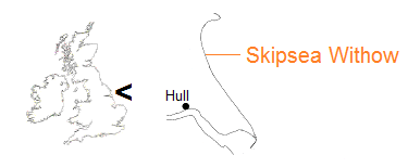
Skipsea Withow Mere was among many meres, or lakes, across the East Riding of Yorkshire that resulted from retreating glaciation, and may have been one of the larger ones. Hornsea Mere still exists but Withow was being consumed by coastal erosion some four centuries ago.
The western remnant, a lake margin represented by beds of peat and sediments, is a Site of Special Scientific Interest (SSSI), and a number of studies have been conducted over the years.
Organic material within the peat layers is dated as being nearly 10,000 years old at the bottom and around 4,500 years at the top.
Meanwhile, erosion by the sea is relentless. The first three pictures are of the track which led to Withow from Hornsea Road (also called Cliff Road), Skipsea [TA 18152 55186]. They depict cliff recession over a period of twenty-two months.
![Skipsea - Cliff Road [5 August 2011] Skipsea - Cliff Road [5 August 2011]](images/Withow-1a-776x517.jpg)
On the left of the picture, a concrete base can be seen, marking an earlier alignment of the cliff top community. The track was a replacement, thirty metres inland, for the original Cliff Lane – see map [5 August 2011].
![Skipsea - Cliff Road [30 April 2012] Skipsea - Cliff Road [30 April 2012]](images/Withow-1b-776x517.jpg)
[30 April 2012].
![Skipsea - Cliff Road [26 May 2013] Skipsea - Cliff Road [26 May 2013]](images/Withow-1c-776x517.jpg)
[26 May 2013].
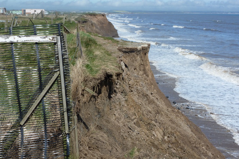
Further along, the way is lost completely [30 April 2012].
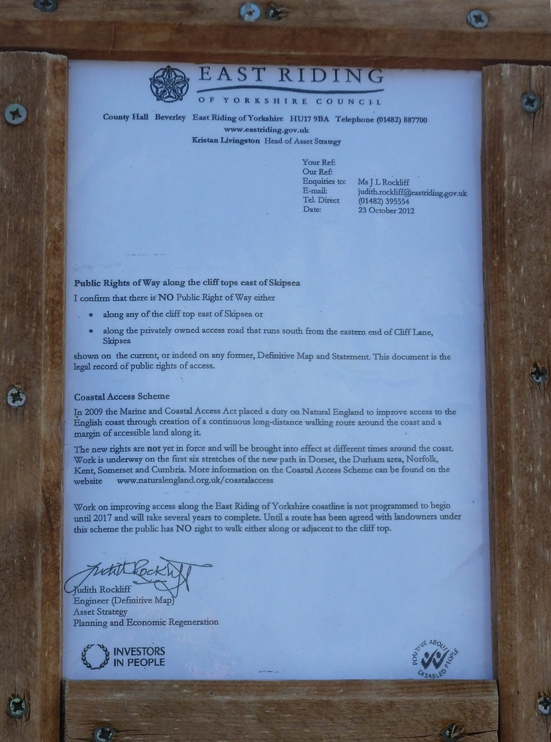
A route directly along the cliff top is not only physically denied but officially, too [2 June 2013].
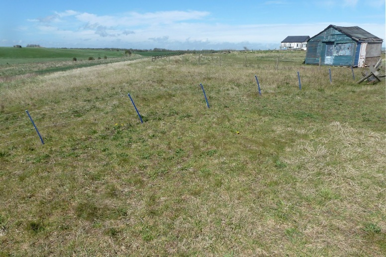
Alternative access to the Withow site is possible by walking the Withow Dyke from Mr Moo’s ice cream parlour on the B1242 road. [February 2026: Path temporarily closed due to coastal erosion.] In this view inland from the cliff, the track occupies upper left of picture, where it crosses the bed of an extension to the main mere [30 April 2012].
The King Charles III England Coast Path, opened August 2025, also provides access.
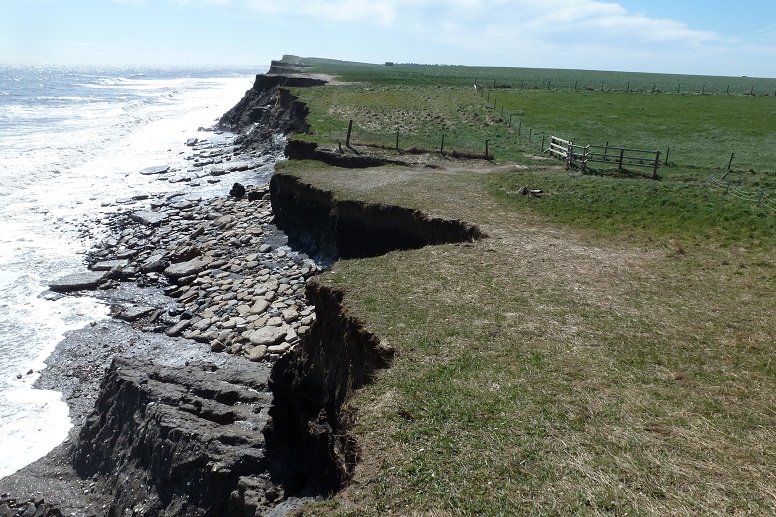
Withow cliff line [16 April 2012].
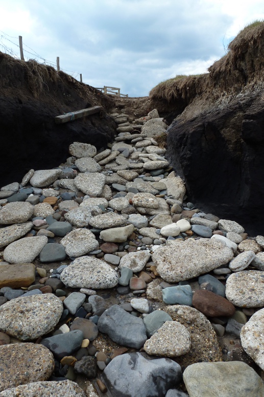
Gap leading to the beach [16 April 2012].
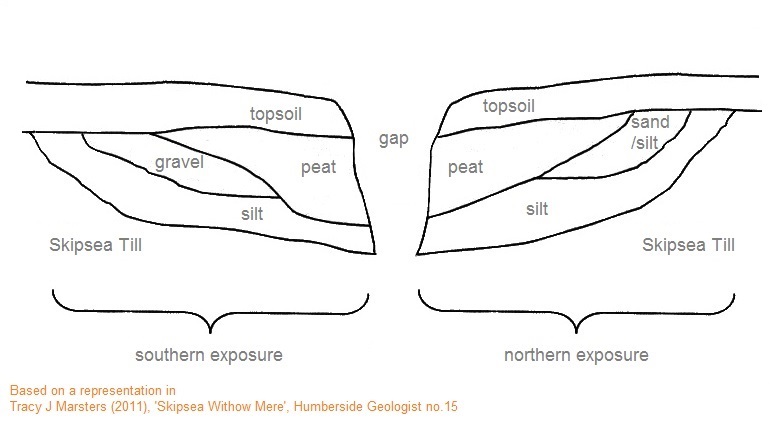
Sketch of main beds at Withow.
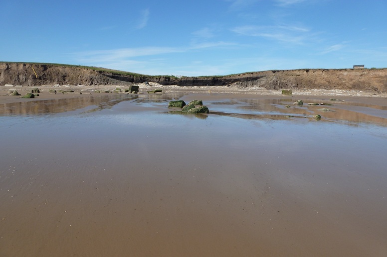
Skipsea Withow site from low water. The yellow thread at the left of the picture is a dangling drainage pipe. There is a small tent pitched on the stony heaped beach under the southern exposure. Surface level of the mere would have been metres above the present beach [15 July 2012].
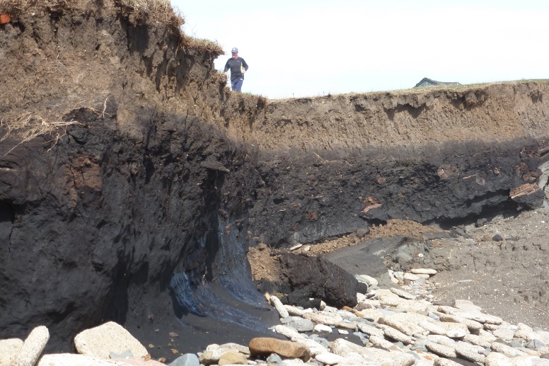
Section of the northern exposure [30 April 2012].
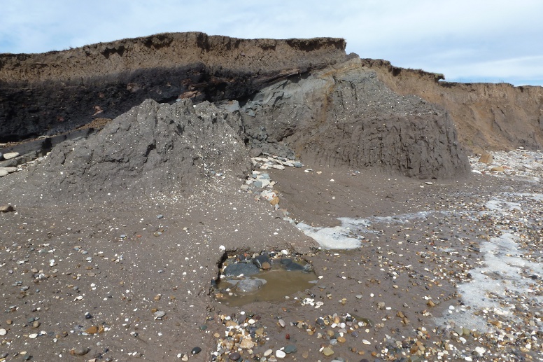
From a different angle [30 April 2012].
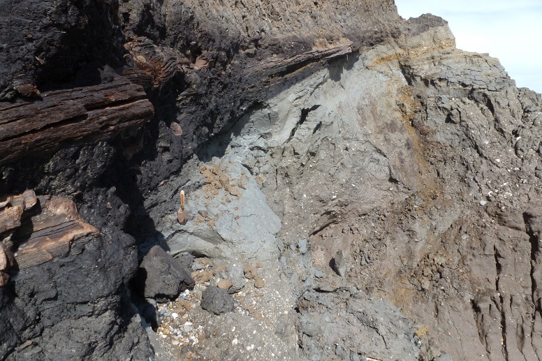
Close-up of northern exposure [30 April 2012].
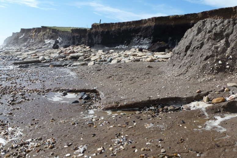
The southern exposure [30 April 2012].
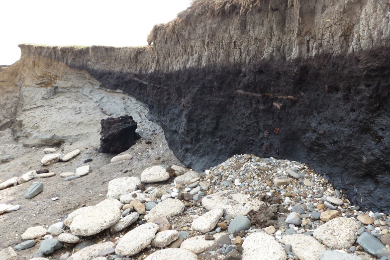
Close-up of southern exposure [16 April 2012].
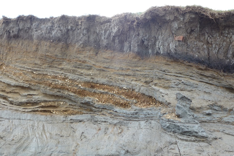
Silts and gravel beds [16 April 2012].
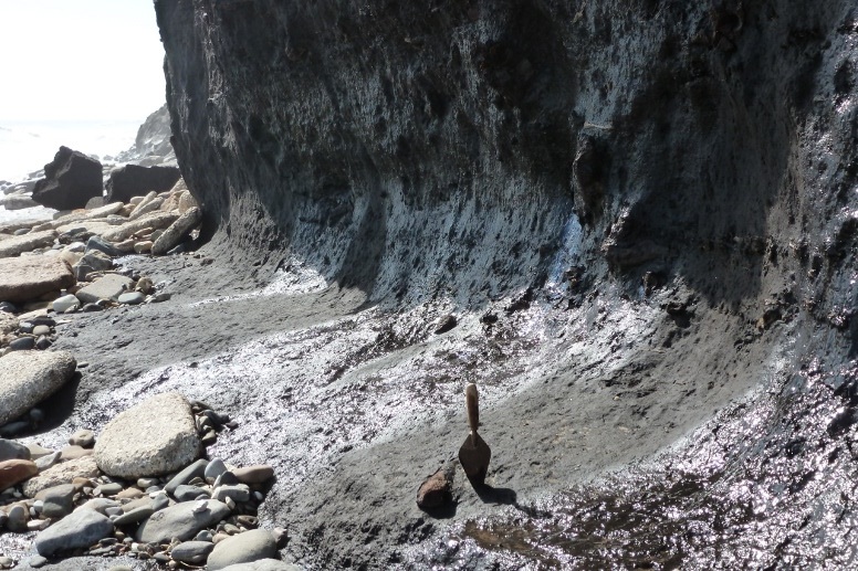
Wave undercut [30 April 2012].
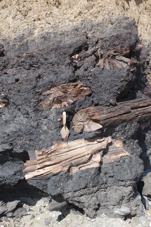
Ancient logs from post-glacial forests in peat [30 April 2012].
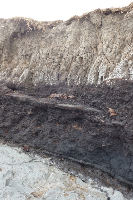
Long piece [16 April 2012].
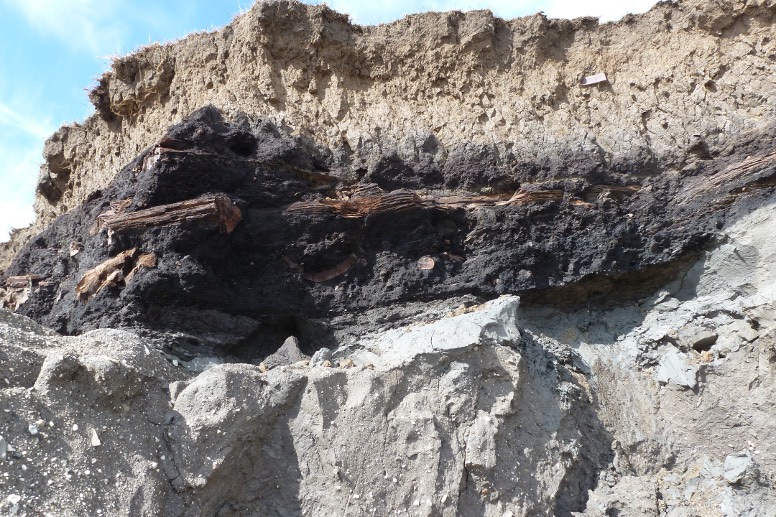
Another [30 April 2012].
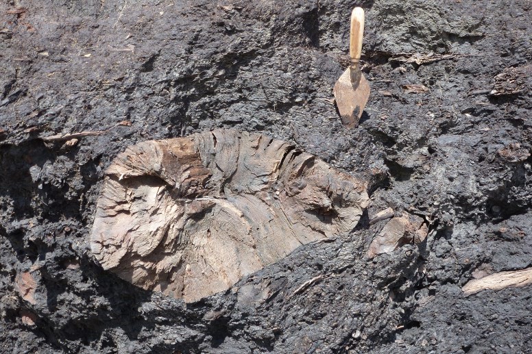
Cross section [30 April 2012].
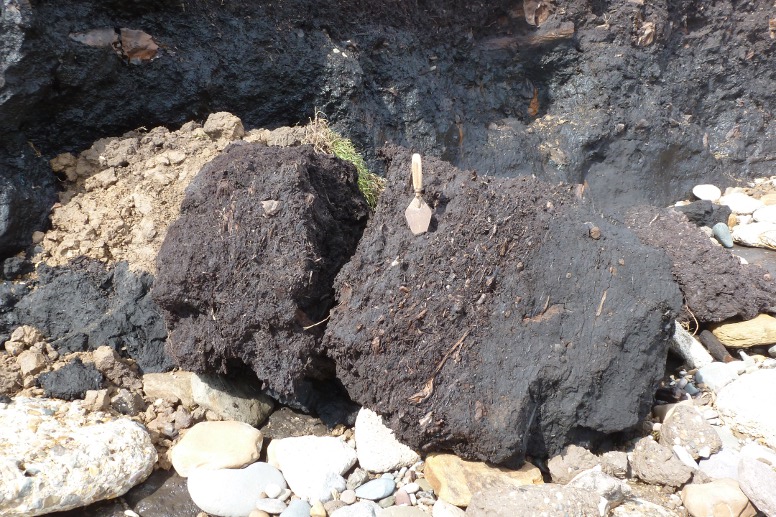
Split lump of peat, fallen over. The trowel indicates the upper of two peat types [30 April 2012].
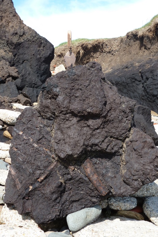
Large lump of peat material [30 April 2012].
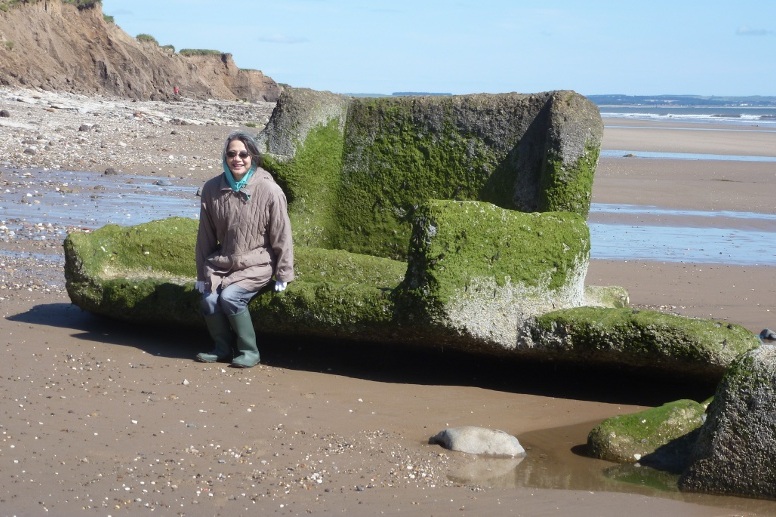
Wartime debris provides a rest [15 July 2012].
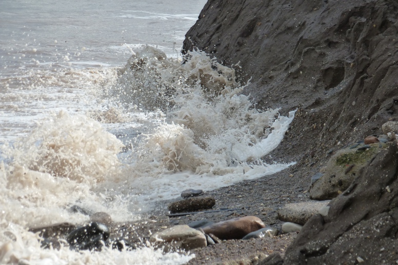
Incoming tide at Withow [16 April 2012].
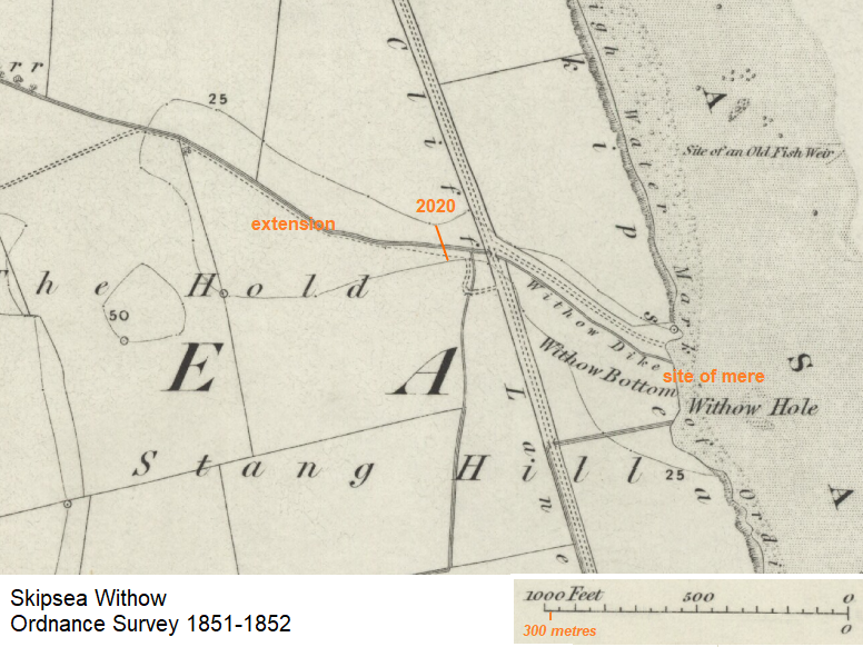
The map shows the Skipsea Withow site at the middle of the nineteenth century. A north-west to south-east orientation for the mere is suggested. Approximately 200 metres of cliff have been lost since the time of the survey.
Also indicated by the 25 contour line (measured in feet) is the bed of the 'back mere' extension.
Page prepared by Brian Williams in July 2012. Material added since.