East Yorkshire coastal erosion
Great Colden
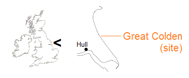
One of the most recent places to be lost to cliff erosion on the East Yorkshire coast is Great Colden. Listed as ‘Coledun’ in Domesday Book, a name possibly meaning charcoal hill, the hamlet was latterly referred to as Great Cowden, or simply Cowden.
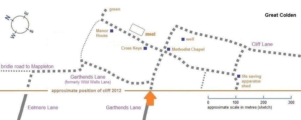
The settlement followed a north-south alignment, originally with worked fields either side. At the middle of the nineteenth century, the cliff edge was nearing the northern end of the main street. Whatever properties still existed by the Second World War were demolished to make way for an army tank range, with the community relocating inland.
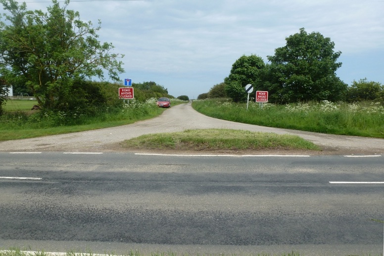
The lane that once led to Great Colden leaves the B1242 between Mappleton (south of Hornsea) and Aldbrough [10/06/12].
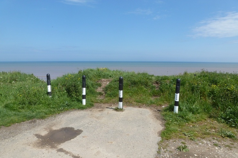
After a half mile the lane ends at bollards and a heaped earth barrier [10/06/12].
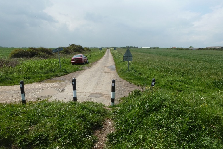
Looking back [10/06/12].
◀ smaller screens ▶

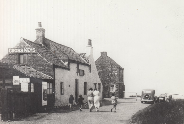
The Cross Keys, a public house since at least 1822, with the cliff getting close. No source or precise date is available for this photograph though the suggestion is the late 1930s.
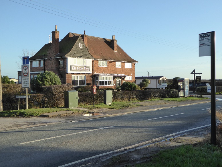
Present day Cowden, with a replacement Cross Keys (built 1943, in recent times called the Blue Boar but now once more bearing the original name), and with Cowden Holiday Park as neighbour, is located on the B1242 at Eelmere Lane [23/12/15].
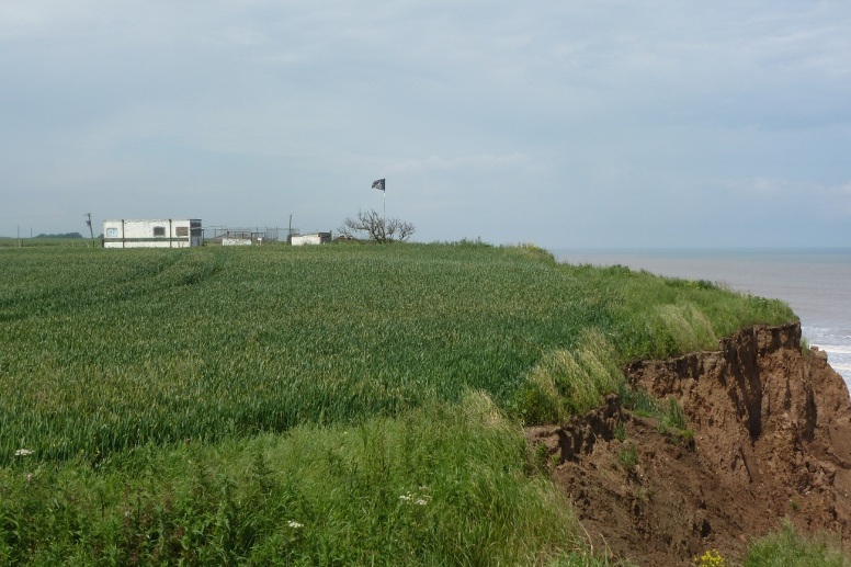
Across a field from the end of Garthends Lane a Jolly Roger flutters at the edge of the cliff [10/06/12].
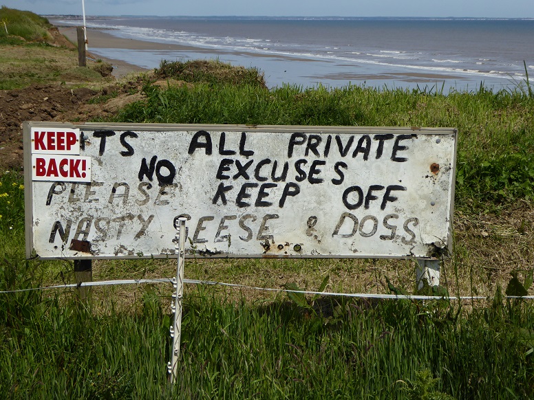
Public right of way as the cliff recedes into private land should not be assumed – see the notice at Skipsea Withow [15/06/15].
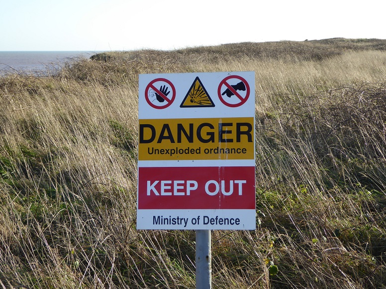
Beyond a field in the opposite direction an overgrown disused military firing range also thwarts cliff access [29/12/15].
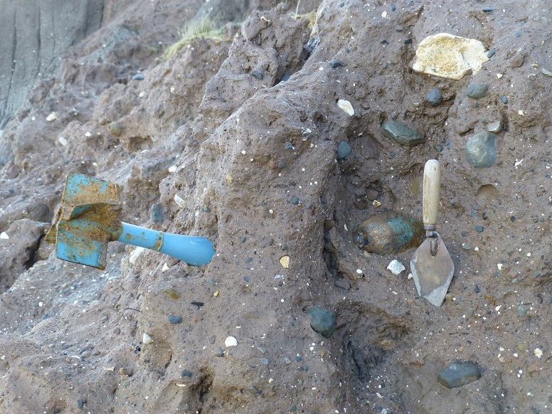
Erosion of the cliff at the firing range sometimes delivers the wrong sort of shell on to the beach [07/11/13].
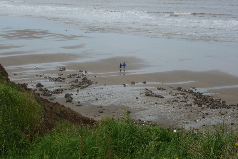
The beach at lane end, from the cliff top [10/06/12].
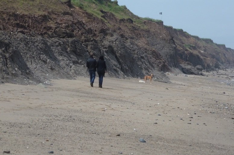
The beach below lane end, flag as reference [10/06/12].
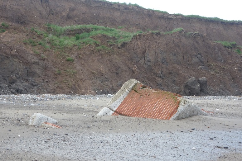
Remains of a military bunker once positioned within the MoD site [10/06/12].
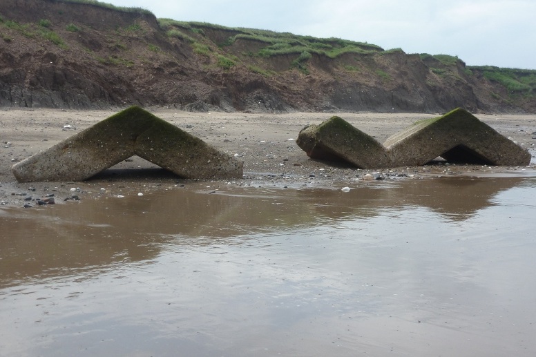
‘Beach art’ [10/06/12].
By taking coordinates obtained from the earliest Ordnance Survey maps to the beach, a street plan may be traced out in the sand, several metres below the level of the former Great Colden. The exercise possibly helps to put a sense of scale to the loss by erosion.
◀ smaller screens ▶
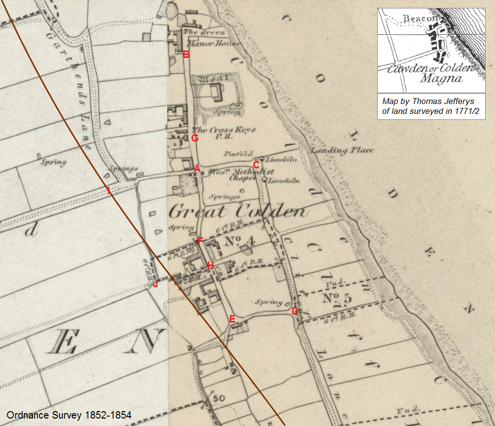
The sheets were the result of survey work carried out between 1852 and 1854, and published in 1855. An inset depicts the arrangement of the hamlet according to Joseph Hodskinson, one of three surveyors engaged in producing the Jefferys Map of Yorkshire, commonly dated 1771/2.
It appears that the principal way into Colden changed during the period which separates the maps. This would be a consequence of late eighteenth century field enclosures.
The brown line across the main map marks the approximate course of the cliff line at autumn 2011. A cliff recession of 293 metres is calculated for the land occupying the upper part of the map, and 268 metres for the land in the lower part – see monitoring profiles 55 and 56 in the cliff loss data spreadsheet.
Within the plan of the hamlet, some measurement points are marked by red lettering. Information appears in the panel below.
Points B and C now lie beyond the low water line and cannot be reached, but others are accessible when the tide is out.
(The landing place indicated on the map was used for the extraction of sand, gravel, and cobbles from the beach until 1892, when such activities along the coast became prohibited in order to help reduce cliff erosion. Local population decreased as a result.)
Pictures for this section were taken 23 December 2015. Old photographs, dates unknown, supplied courtesy of Coastal Change Observatory, Withernsea.
A [TA 23740 42466] crossroads at nominal centre of hamlet
to
B [TA 23720 42662] opposite grounds of the Manor House
196.83m, -4.30°
A [TA 23740 42466] crossroads at nominal centre of hamlet
to
C [TA 23839 42477] end of middle street at pinfold (animal pound)
99.19m, 85.22°
C [TA 23839 42477] end of middle street at pinfold
to
D [TA 23908 42223] Cliff Lane junction with south street
262.61m, 166.36°
D [TA 23908 42223] Cliff Lane junction with south street
to
E [TA 23802 42210] southern end of main street
106.41m, 84.31°
E [TA 23802 42210] southern end of main street
to
F [TA 23748 42342] angle in main street
142.50m, -20.67°
F [TA 23748 42342] angle in main street
to
A [TA 23740 42466] crossroads at nominal centre of hamlet
124.08m, -2.11°
A [TA 23740 42466] crossroads at nominal centre of hamlet
to
G [TA 23733 42523] roadside opposite front entrance to Cross Keys
57.44m, -5.62°
F [TA 23748 42342] angle in main street
to
H [TA 23767 42298] junction with old road into hamlet
48.13m
I [TA 23595 42430] edge of cliff at end of Garthends Lane in spring 2012
to
A [TA 23740 42466] crossroads at nominal centre of hamlet
148.93, 77.59°
(the distance for 11 December 2015 is calculated as 152.92m)
Names in lower case first letters are for convenience of reference.
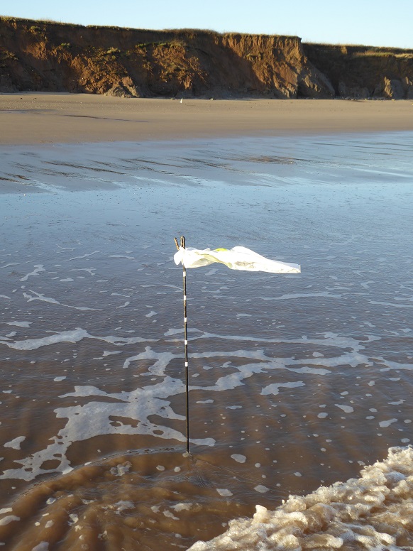
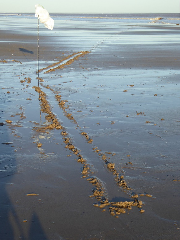
Alignment D to E, from Cliff Lane along south street.

A to G, from the crossroads to the roadside opposite the Cross Keys.
The angle in main street, at F.
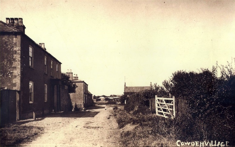
Old photograph taken from H looking north to F. The angle is beyond the houses.
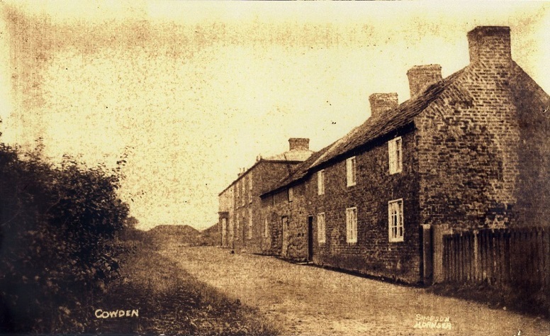
Old photograph taken from H looking south to E.
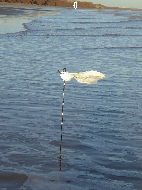
D to A, approximating the course of the cliff line around 1960.
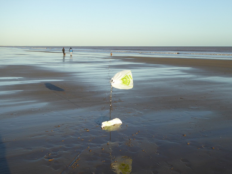
View along main street from F. The dog aligned with the rod is a little south of the crossroads at A.
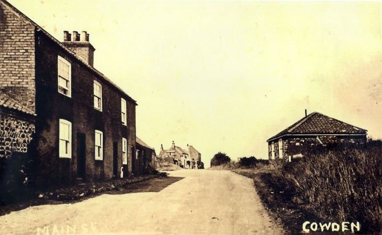
Old photograph taken from near the dog. The Methodist Chapel (built 1835) is on the right, and the crossroads lies immediately past it. Further along is the pub.
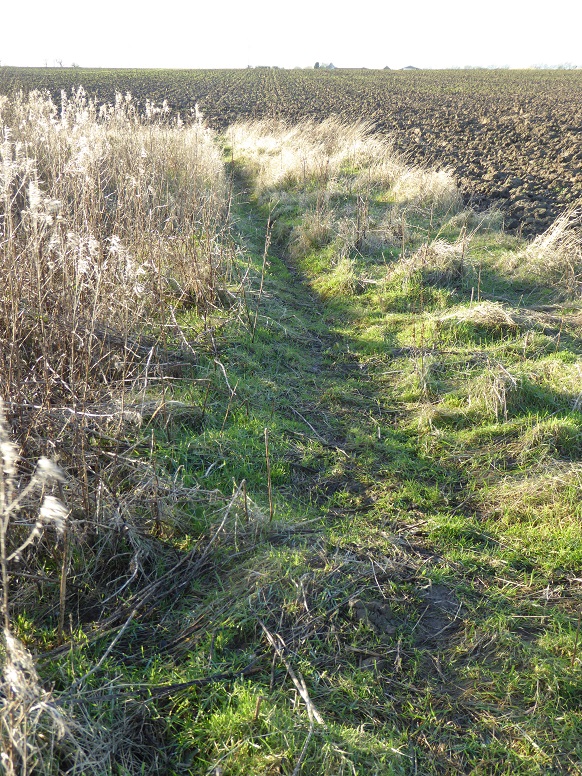
The original route into Great Colden (reference Jefferys’ Map of Yorkshire) would have started close to the farmhouse on the B1242, distance about 760 metres from camera, in alignment with present field cultivation rather than the path as seen. Picture taken near the cliff top, at point J on the OS map.
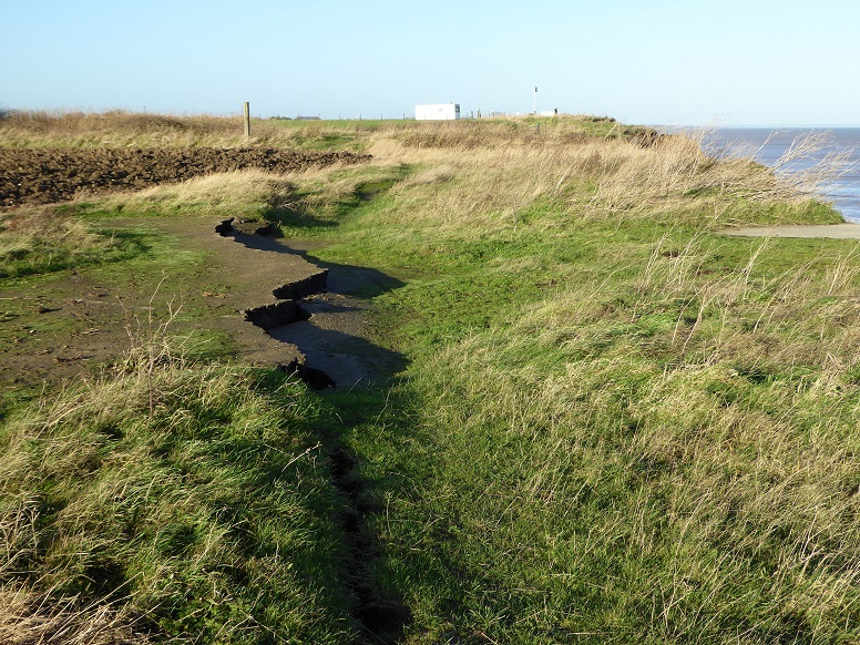
A patch of hardstanding is one of the last remaining ground traces of the original community of Cowden, or Great Colden.
Original page prepared by Brian Williams in July 2012. New material added December 2015 / January 2016.