East Yorkshire coastal erosion
Hollym
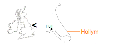
As with most other named locations along the edge of the East Yorkshire coast, the actual village of Hollym is inland from the sea. Here, though, there is no associated cliff community.
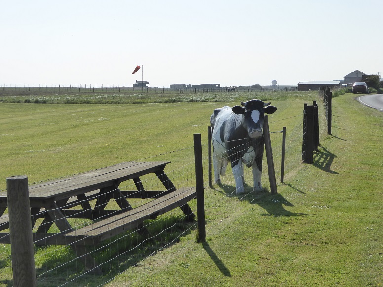
Visitors entering the parish of Hollym from the direction of the nearby seaside town of Withernsea are greeted by a full-size replica bovine gazing over the fence at the airfield [10 May 2017].
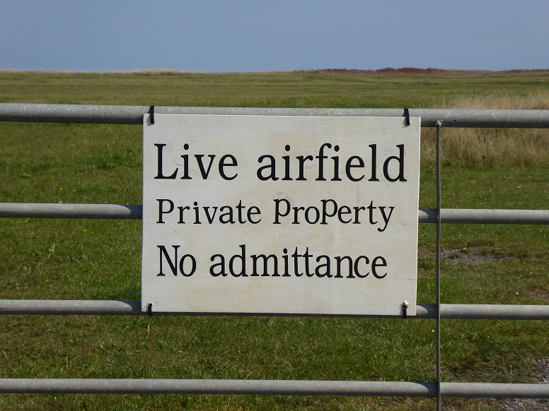
The airfield at Hollym is much reduced as a result of a receding cliff line, seen in the background, and in August 2016 an aircraft fell over the edge during landing (see report). The field is currently used by a model aviation group. There is another airstrip situated north of the village [21 September 2020].
More recently, the field was opened as a caravan and camping site.
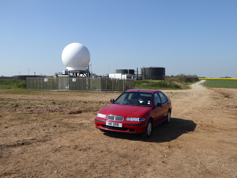
The Hollym cliff site in 2017, viewed from the cliff edge. Behind the weather dome lies the wastewater treatment works which serves Withernsea [10 May 2017].

Operational for only a brief period, the weather dome was visible for some distance from the beach and along the cliff [16 November 2017].
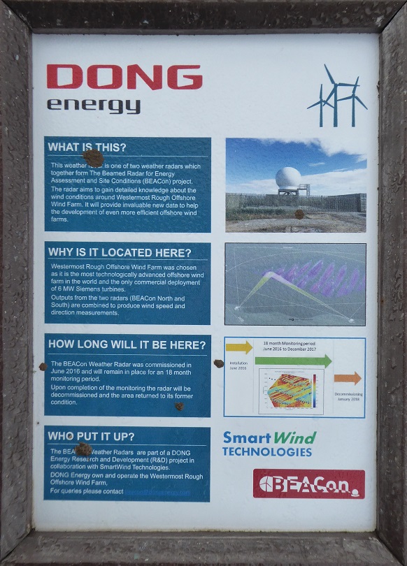
Information about the dome [16 November 2017].
text
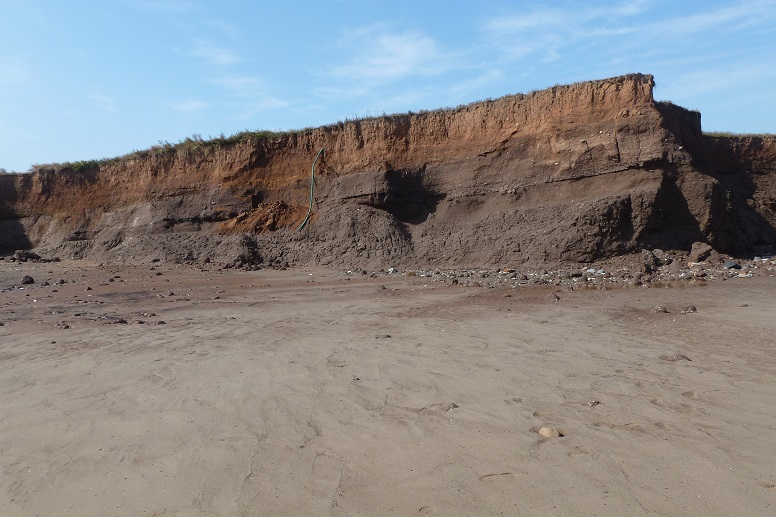
The glacially deposited clays making up the cliff are composed of Withernsea Till (Withernsea Member of the Holderness Formation or Series). Within the till are distinct units representing repeated stages of ice advance and retreat [3 September 2012].
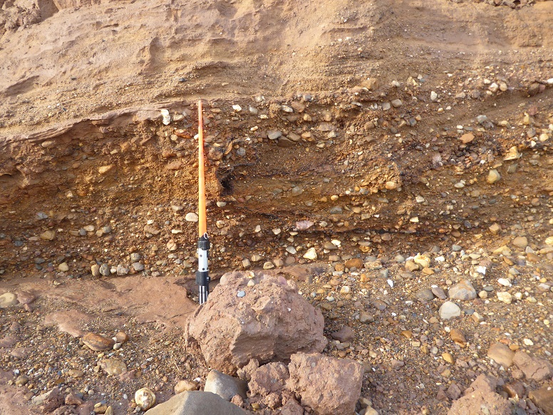
Close-up of a bed of coarse sand and gravel. Scaling rod is a metre overall [16 November 2017].
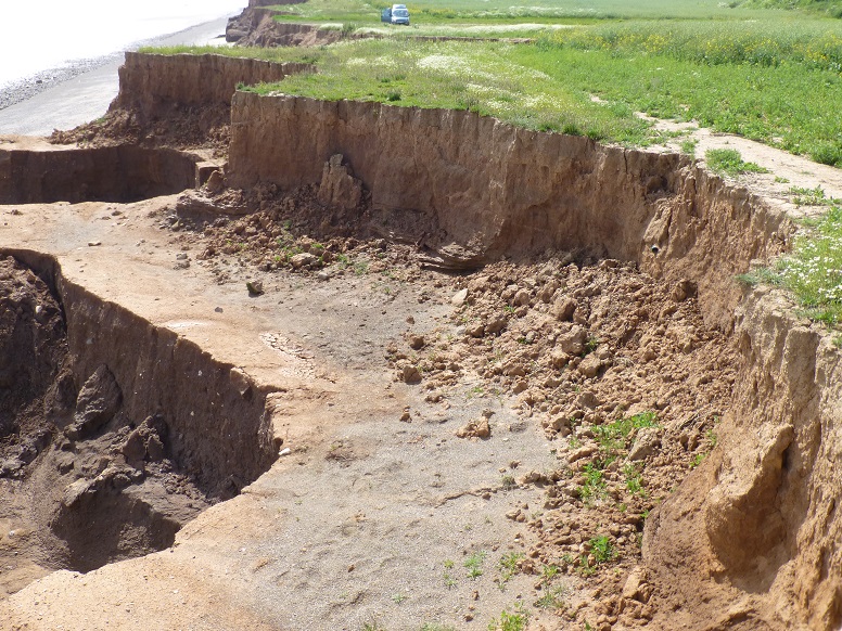
Differential erosion of the units has produced a ‘shelf’ [13 June 2014].
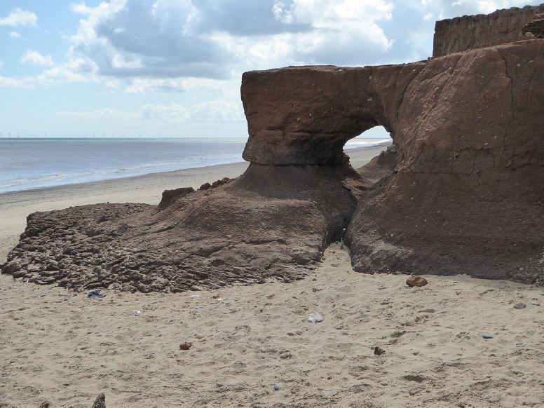
Unusual shapes are formed [28 May 2015].
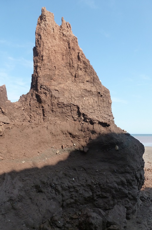
Another [3 September 2012].
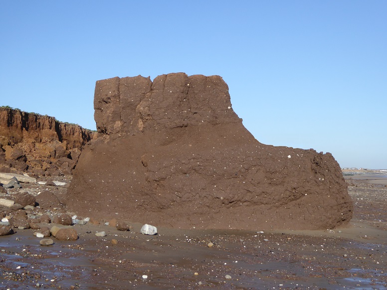
Boot-shaped stack [14 March 2022].
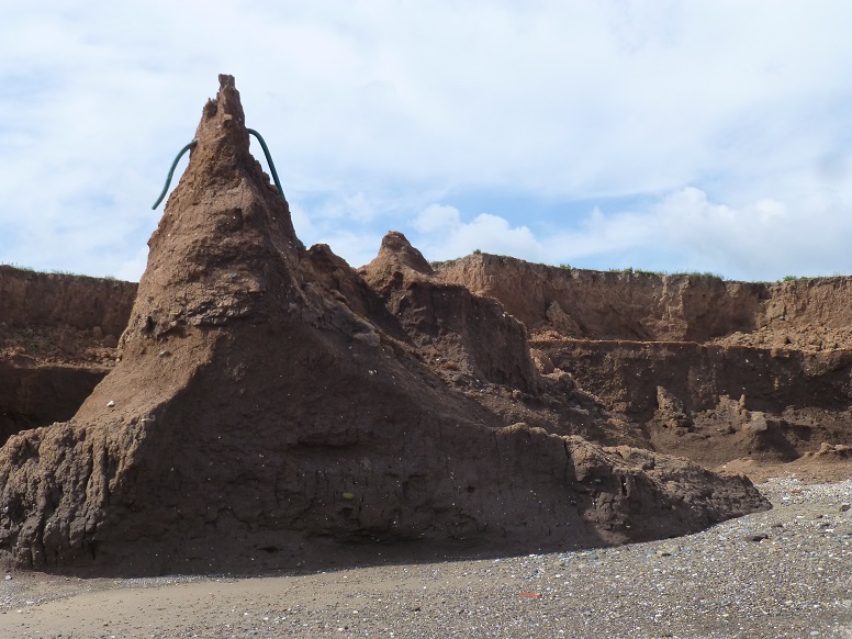
A peak holds the remnant of a drainage pipe [13 June 2014].
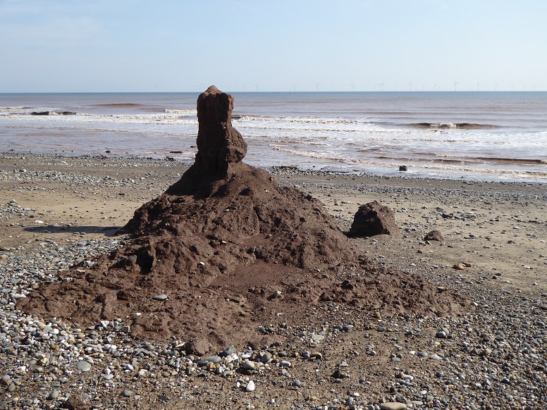
At a smaller scale, a beach sandcastle made of clay [13 June 2018].
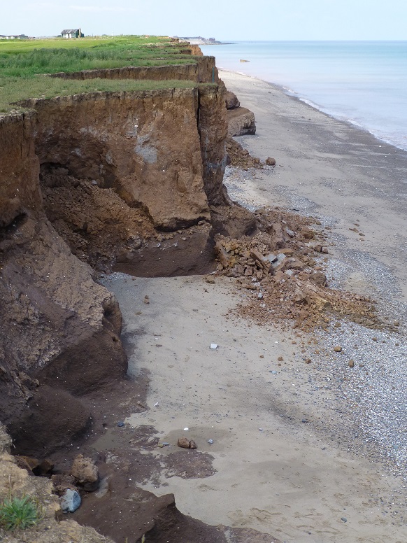
A fall leaves a truncated spur [5 July 2012].
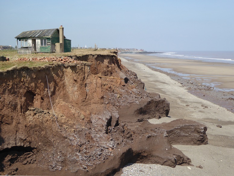
Abandoned cabin near the lost site of Intack farmhouse (see Paul Glazzard). This picture is taken five years after the previous picture, which shows the same cabin at thirty metres from the cliff edge [10 May 2017].
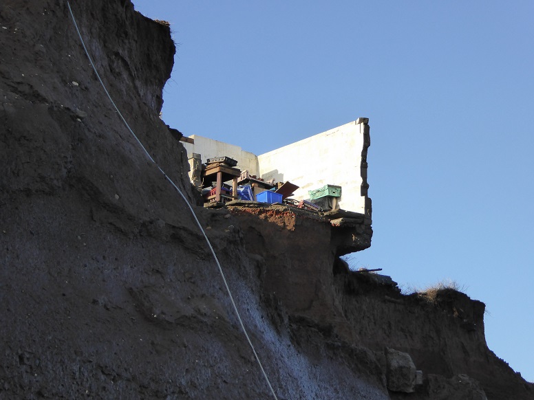
One more cabin (with contents), originally sited some twenty-five metres inland of that displayed before, in the late stages of falling over the edge [20 December 2022].
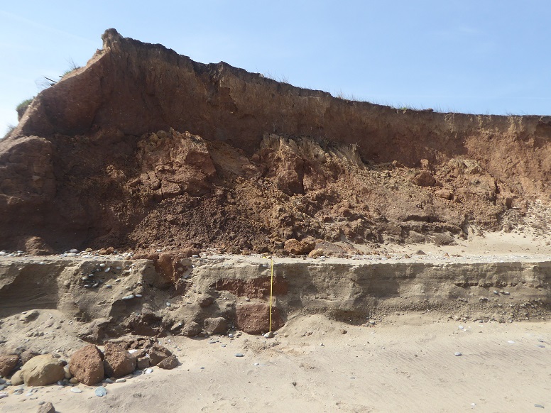
An earlier beach level is reduced by wave action to leave a high sand berm. The tape measures 104cm (41”) [2 May 2024].
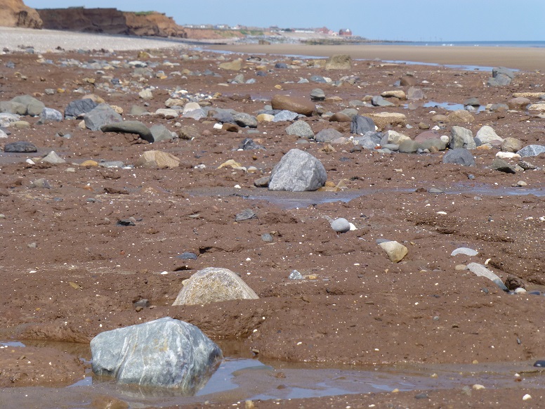
A beach stripped of cover reveals the underlying clay platform [5 July 2013].
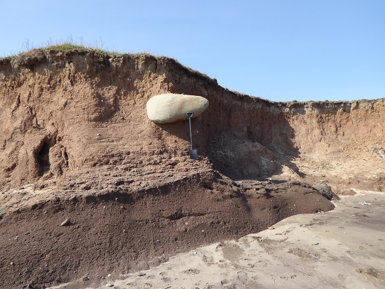
Large erratic [20 April 2019].
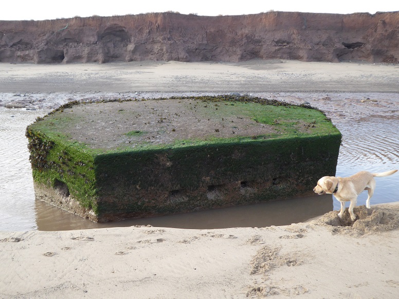
In Google Earth imagery dated 2003, Hollym pillbox stands fourteen metres inland from the cliff line [16 November 2017].
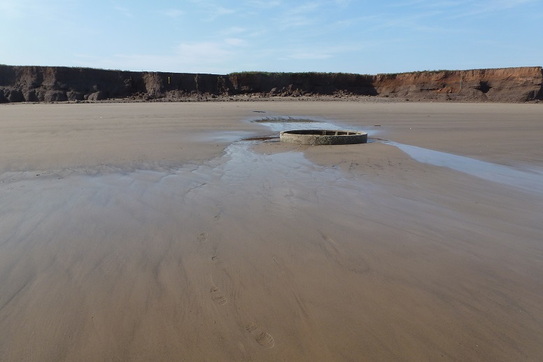
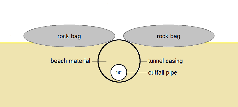
The remains of a construction shaft sunk at the cliff top in 1991 indicate the route of the outfall pipe from the wastewater treatment works. Under the beach, the outfall pipe itself continues seaward for a further kilometre before discharge into the North Sea [3 September 2012].
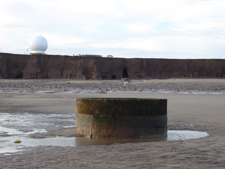
As the cliff recedes, the tunnel casing of the outfall becomes exposed [16 November 2017].
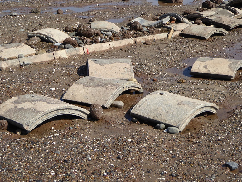
Scattered segments from the tunnel casing [10 May 2017].
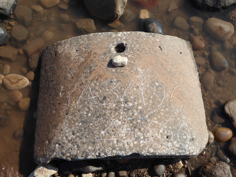
This piece was found 373 metres downdrift of the outfall [TA 36196 25366, 20 May 2020].
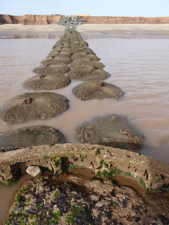
Rock bags are positioned as temporary protection [29 June 2019].
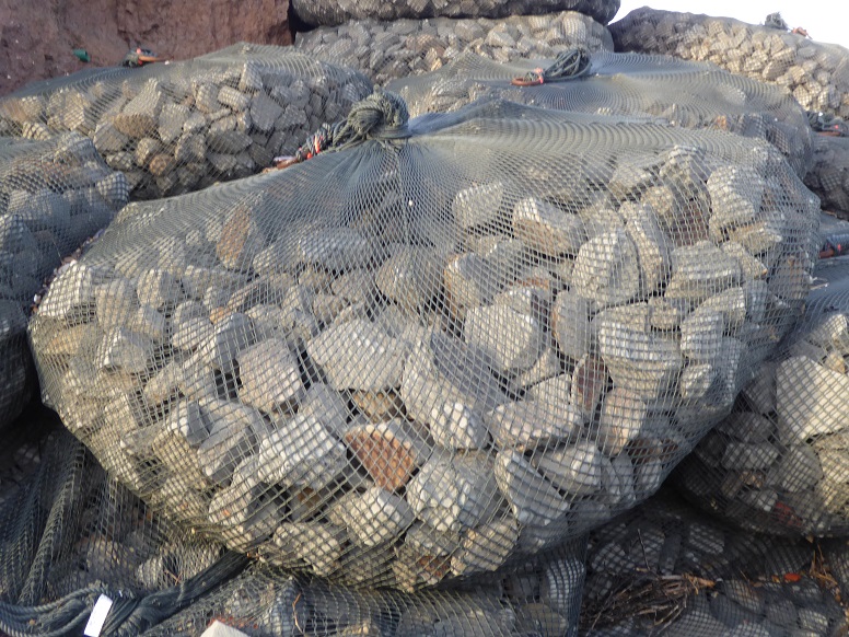
Close-up of a rock bag [30 January 2018].

The type of rock bag is a Kyowa Filter Unit, used in Japan since 1987 but only more recently in the UK. In the tag of a 4-ton unit, WEIGHT refers to the bag material without fill [30 January 2018].
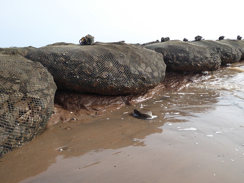
A low beach level will undercut ... [29 June 2019].
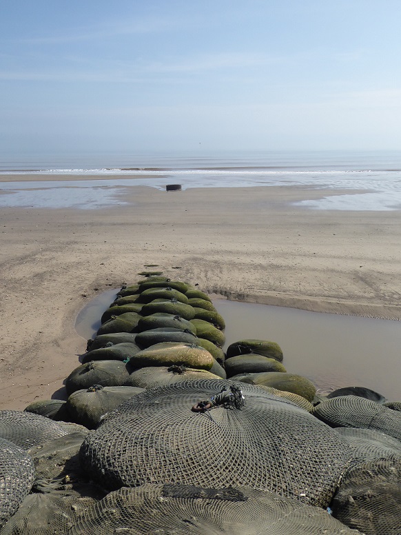
... whereas a high beach may completely cover much of the protection [20 May 2020].
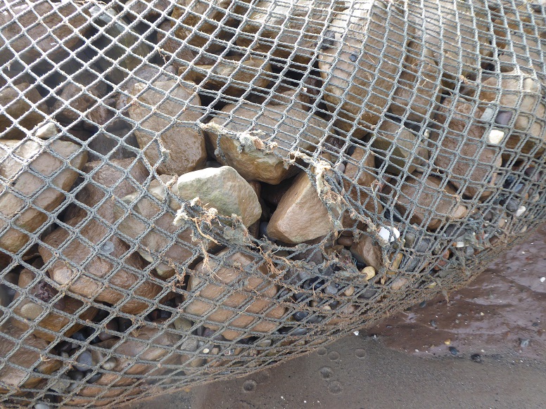
Although the netting material is tough, it cannot always resist destructive wave action [29 June 2019].
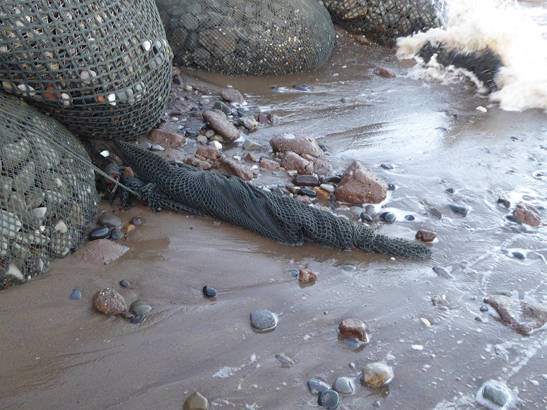
A bag may fail altogether [22 October 2018].
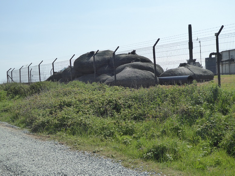
Additional bags stored within the compound at the wastewater treatment works [20 May 2020].
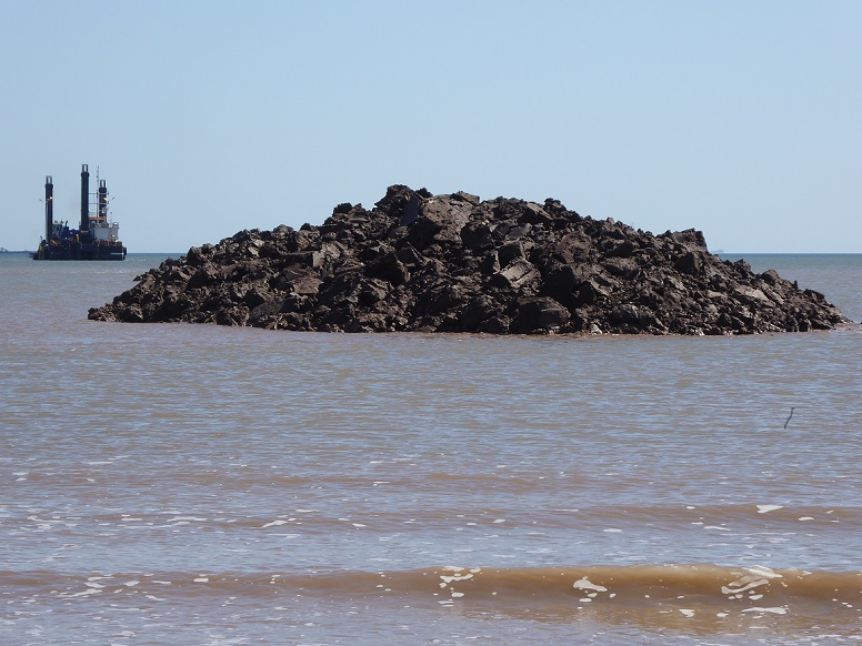
Spring 2020 saw the start of a £26m scheme to build a new Withernsea wastewater treatment works inland (see announcement and case study, also completion). The picture shows material excavated by the digging of a trench in readiness for a new outfall pipe, which was towed by tug across the North Sea from Norway [20 June 2020].
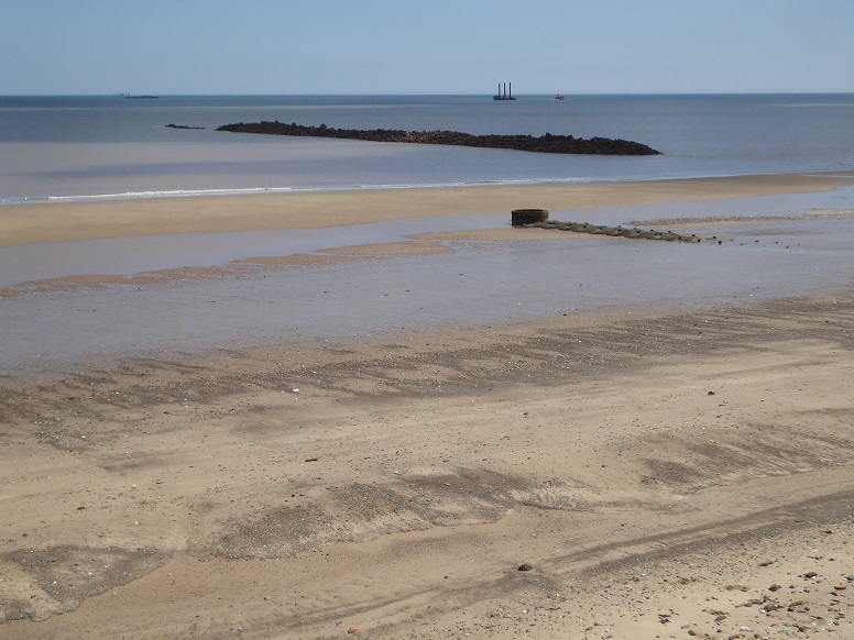
Excavated clay sits alongside the route of the existing outfall [20 June 2020].
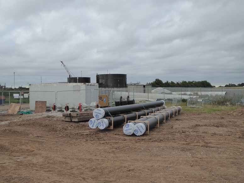
Lengths of pipe to connect with the new outfall [24 July 2020].
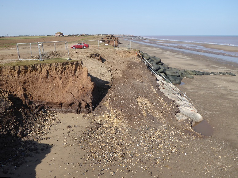
Contractors’ temporary beach access slope protected by PRP rock bags [21 September 2020].
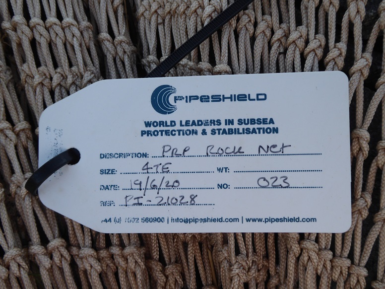
PRP = Precise Rock Placement [21 September 2020].
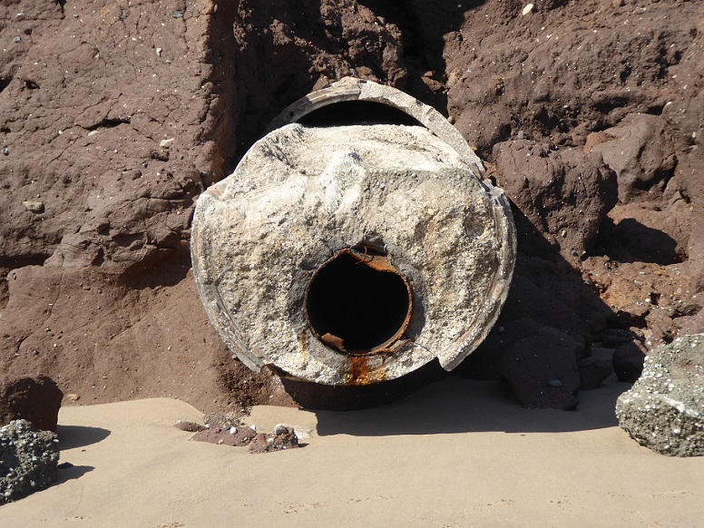
A year on from the start of scheme and the time arrives to dismantle the old outfall, leaving a stub protruding from the lower cliff. It appears that this section at least was filled with concrete between pipe and outer casing [5 June 2021].
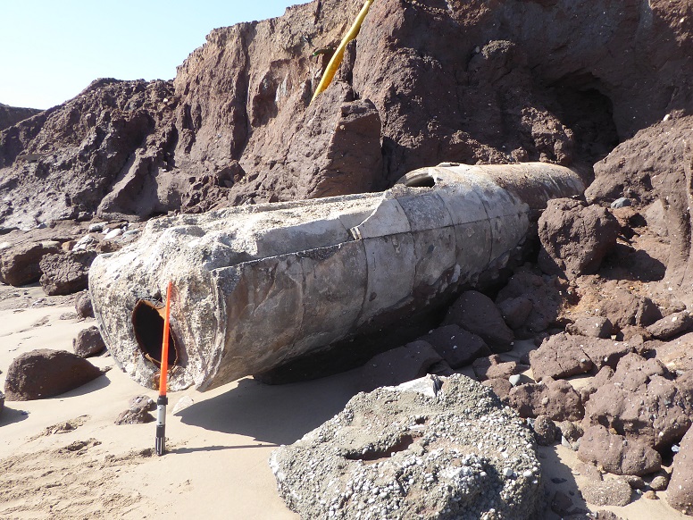
Scaling rod is one metre overall length [5 June 2021].
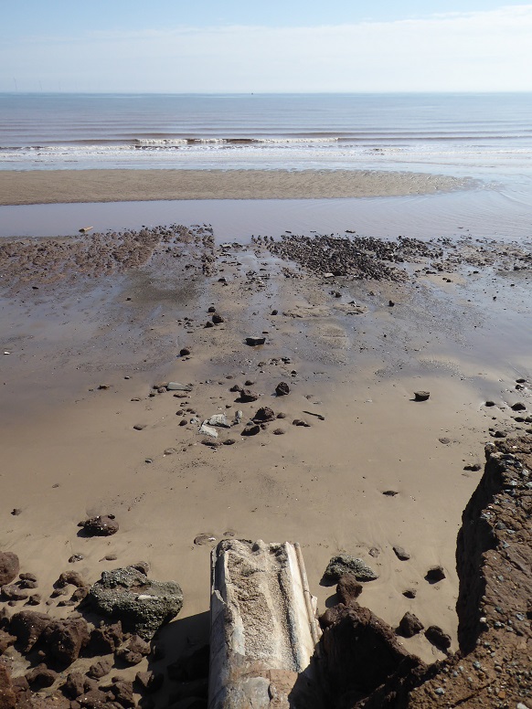
The route taken by the old outfall across the beach can still be traced. Gone, though, is the once familiar ‘Hollym ring’ construction shaft remnant [5 June 2021].
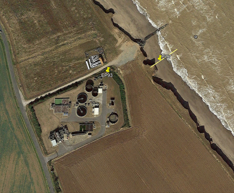
The Hollym site has been a cliff loss monitoring location for many decades. Erosion Post EP93 provides data from 1951 to 2010. Monitoring Profile Pr97 was established in 2003 and continues.
When the Withernsea wastewater treatment works including outfall was commissioned in 1991, a design life of sixty years meant that the facility could be expected to remain in place until 2051. However, particulary severe coastal erosion to the south of Withernsea reduced the term by about a third.
In the aerial image, pin Pr97 indicates the edge of the cliff in 2017, whilst the circled dot further out marks the position in 2003 [Google Earth: 21 September 2019].
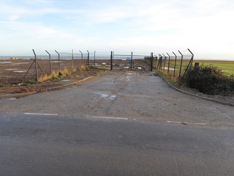
Works site cleared apart from perimeter fence [20 December 2022].
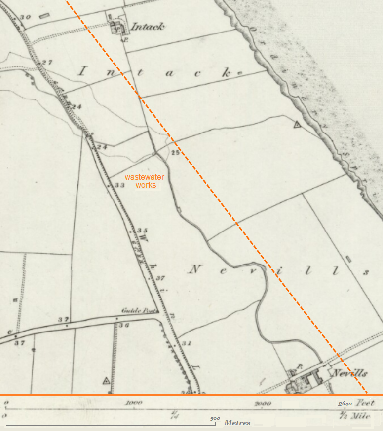
The land as it was in the mid-nineteenth century. Intack farmhouse has been lost. The area that became the wastewater treatment works is under threat. Nevills farmhouse, the north-east corner of which served as Erosion Post EP94, currently lies a distance from the cliff edge that is less than the length of the property’s curtilage [Ordnance Survey: 1852-1854 – dotted trace represents the cliff line in 2017].
Page prepared by Brian Williams in October 2020. Updates as indicated.